Misty Beauty: The Stunning Lakes and Mountains of Lofoten in Norway
Text and photos by /Kavanah
(2015.07.28) I woke up to the sound of heavy rain. As I pushed open the window, I was greeted by layers of thick mist and fog outside, which immediately filled me with concern. That day’s plan was to hike the Reinebringen trail in the town of Reine — the most important and anticipated activity of our trip to Lofoten. But with the pouring rain, not only would the stunning beauty of Lofoten be overshadowed, but the hike up Reinebringen would also become far more dangerous. From blogs we had seen online, we knew this was an extremely challenging trek...
Weather is the most unpredictable variable when traveling, and since we were faced with it, we had no choice but to adapt. Fortunately, the weather forecast predicted that it would clear up in the afternoon, so we decided to adjust our plans on the spot: we’d explore the towns of Å and Reine in the morning, and attempt the Reinebringen hike in the afternoon once the weather improved.
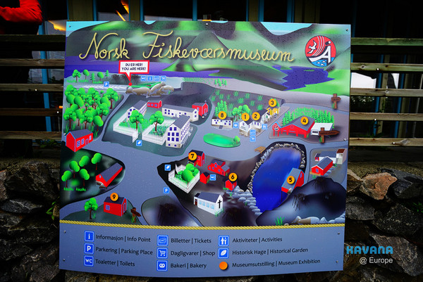
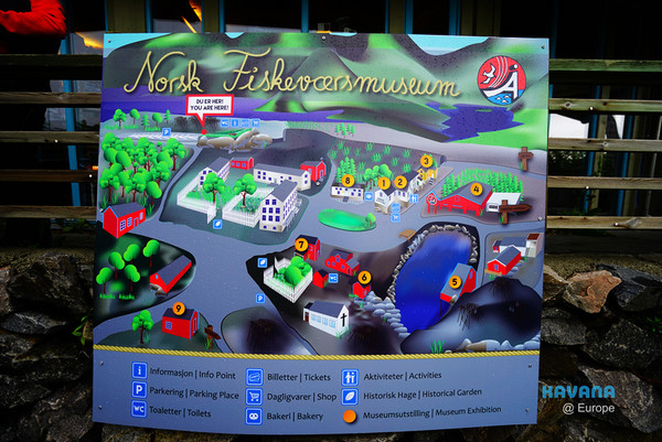
Map of Å Town — Å is such a tiny town that I even wondered if there were any locals living here. It takes about 15 minutes to walk around the entire town. (On the map, “6” marks the “Smaken av Lofoten” guesthouse where we stayed.)
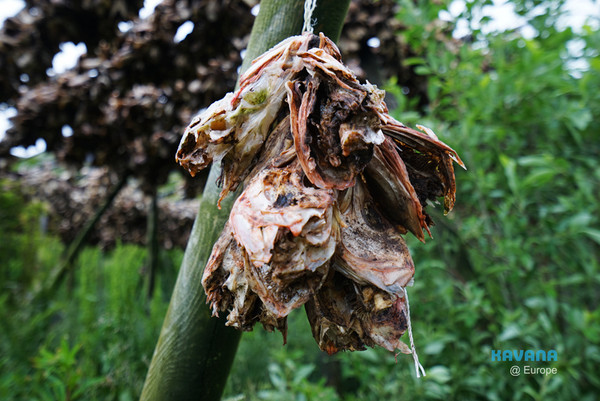
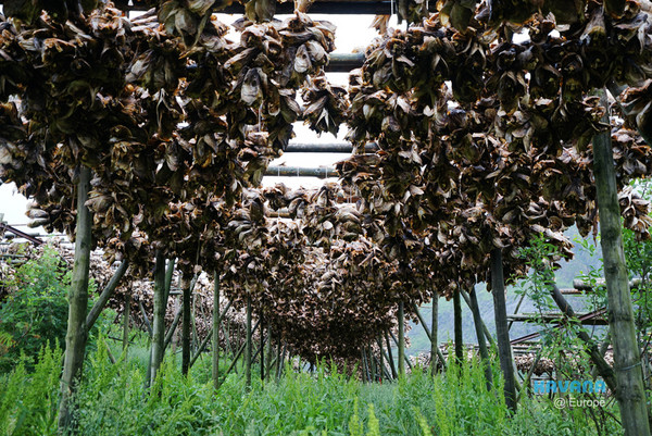
We first drove to the parking lot behind Å Town, which is also the location of the southernmost bus stop in Lofoten. The shelves next to the parking lot were lined with rows of cod heads. Generally, the cod fishing season in Lofoten is around March and April each year, so we guessed these fish heads were just put up there for tourists to take photos with.
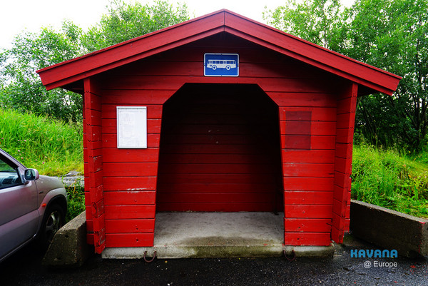
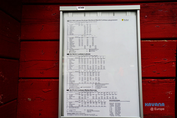
The bus stop next to the parking lot — I personally think taking the bus while traveling in the Lofoten archipelago is both troublesome and restrictive. It simply doesn’t allow you to fully explore the beauty of these islands. I strongly recommend renting a car if you come here.

The rest area and souvenir/tourist center next to the parking lot.
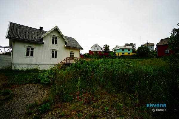
Walking down the path next to the tourist center, we soon came across several residential houses.
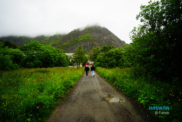
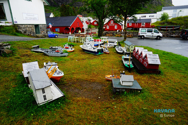
Continuing along the path, we arrived at the central square of Å Town — only to realize we had walked right back to the area near our guesthouse. So what was the point of driving up earlier...? (Because we really didn’t expect Å Town to be this tiny!!) (In the center of the square is a model of the town’s buildings.)
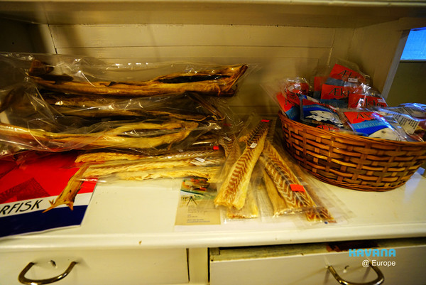
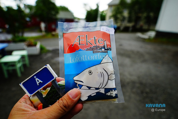
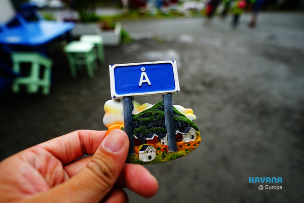
We bought some magnets from Å Town and the local specialty “dried cod” from a small shop near the square. The dried cod had a pretty strong fishy smell and tasted a bit like flavorless fish jerky.
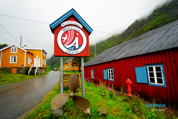
This sign is a landmark of Å Town.
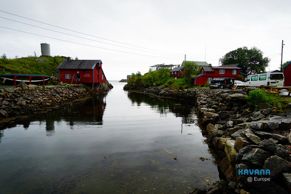
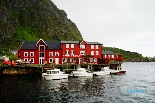
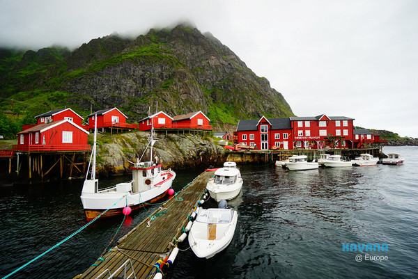
Buildings by the harbor.
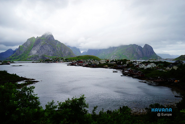
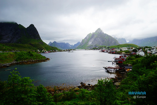
After less than an hour in Å Town, we drove toward Reine Town. Before entering Reine, there’s a viewpoint by the highway that offers the classic angle for photographing the town.
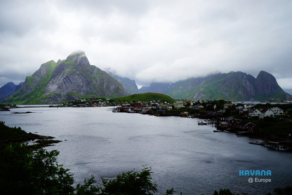

The view from the viewpoint is not only the classic photo spot for Reine Town but also the scenic backdrop used in many Lofoten posters — it could be considered the “face” of Lofoten. However, the heavy rain that day significantly diminished the scenery. Although the misty scene was still decent, it was a far cry from the stunning blue-sky-and-white-cloud views we had seen online.
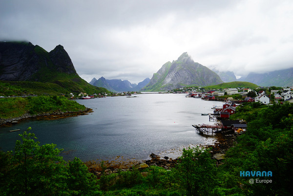
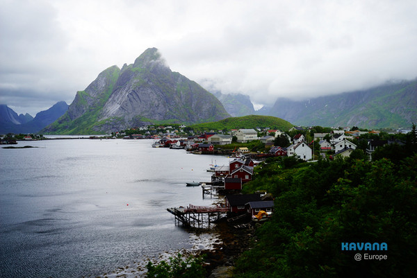
But hey... my nickname “Mr. Clear-Sky” isn’t for nothing. Stay tuned, folks — in the next few posts, I’ll show you some breathtaking views that will leave you in awe.
Just you wait and see. (Grim determination)

We left Reine Town and continued driving ahead. (No particular destination — we were just waiting for the rain to stop.)
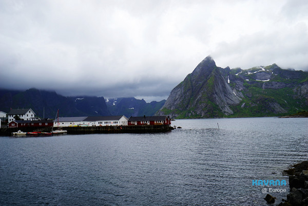
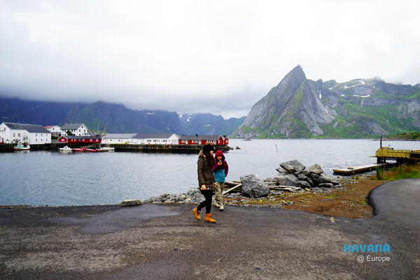
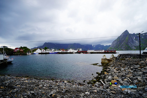
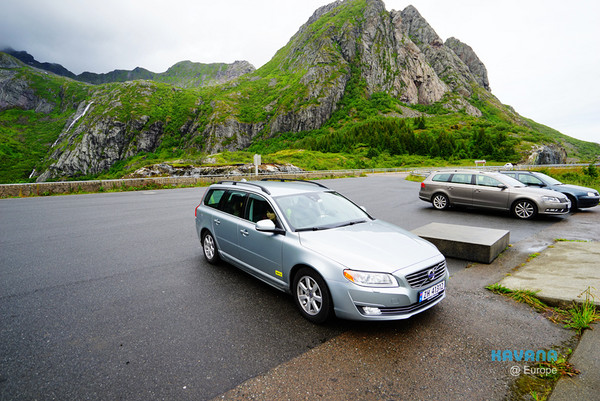
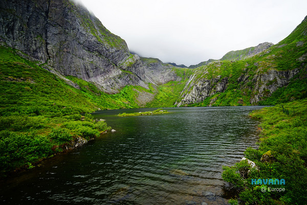
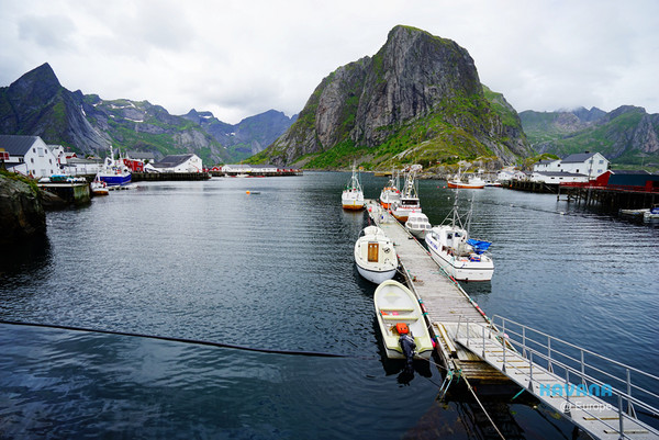
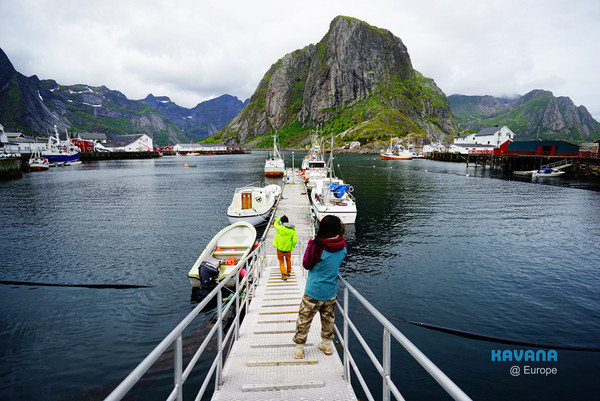
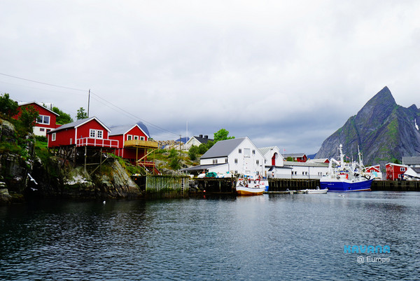
A random harbor stop we made along the way.
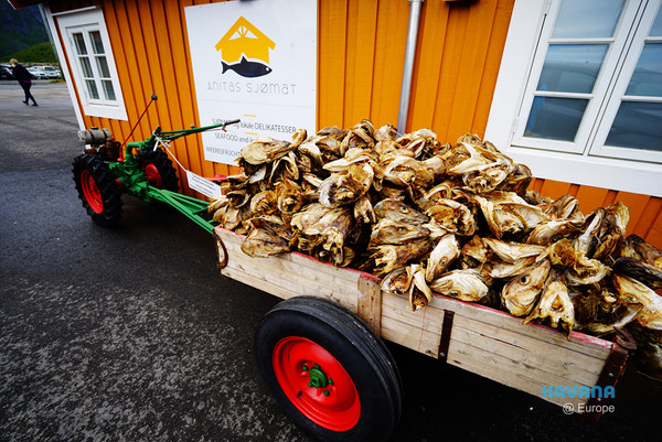
We spotted a bustling restaurant by the E10 highway that piqued our curiosity, so we decided to pull over and check it out.
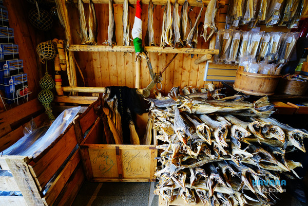
The restaurant offered a variety of specialties from the Lofoten archipelago.
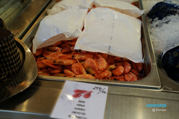


We ordered a burger stuffed with sweet shrimp, salmon (another Norwegian specialty), lettuce, and meat patties. The sweet shrimp and salmon were fresh and delicious — really tasty (though also quite expensive!).
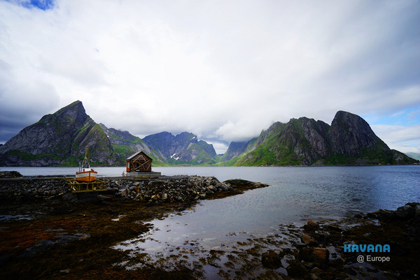
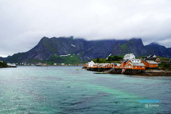
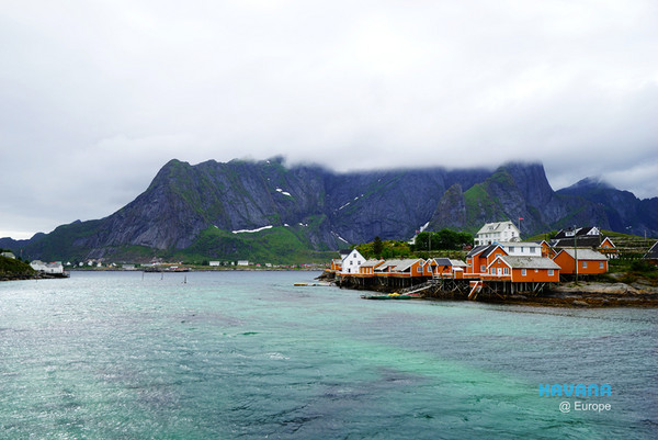
Approaching Reine Town, the coastal scenery along the E10 highway was eye-catching, especially the orange-red rorbuer (fishermen’s cabins)! The mountains in the background were also incredibly majestic. Despite the humidity and swirling clouds, the scene was still undeniably beautiful.
At that moment, we noticed the rain starting to let up and the sky gradually clearing. We decided to drive back to Reine Town to prepare for our hike on the Reinebringen trail.
Kavanah @ Kyoto, free and easy.
Kavanah X Japan Travel Madness
Share
This article is published by HowToTrip. Sharing and reposting are welcome — please credit the source.
Article URL: https://www.howtotrip.net/views-7931
Related Articles
- Shaoxing's "Grandpa Gourd" hangs the gourds back up: "If there are too many people, we'll interact less — just take a quick look from afar"
- Chinese authorities announce "reciprocal adjustment" to Japan visa fees — single-entry visa jumps from 2,250 to 16,750 yen!
- The "health stones" carried by a traveler were found to have radiation levels exceeding safety limits by a thousand times, potentially endangering fellow passengers on the same flight. Customs issues warning!
- Shenzhen Airport Issues Late-Night Notice: Unidentified Aerial Object Detected, Causing Widespread Flight Delays!
- “They only said it cost money after I opened the box and washed it!” 200g of grapes sold for 60 yuan on a high-speed train—12306 responds!
- Can't buy an airline ticket? Denied exit? Blocked from boarding? A large number of Chinese tourists have mysteriously become "discredited individuals"
- Adverse weather and economic fluctuations impact Colombia's coffee market
- Beach bathing area responds to 2 yuan/30 seconds fee for freshwater foot rinsing: Clearly priced!
- Taking off with an improperly closed cabin door? Wing malfunction? Multiple flights made emergency returns mid-journey!
- Experience the gifts of nature! A countdown of the world’s ten most stunning coastlines