Mind-blowingly amazing level: the treacherous and ultra-challenging hiking trail in a hidden corner of Norway
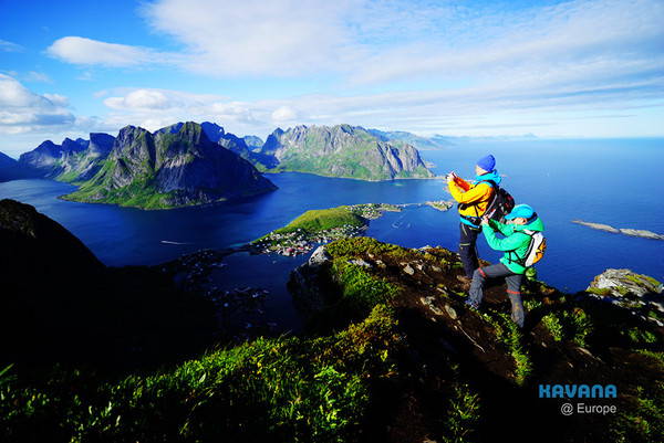
Text & photos byKavanah
(2015.07.28) People who frequently travel or run blogs often compare themselves—though not out loud—but I think everyone who loves traveling or blogging has had this thought at some point. What are they comparing? It’s “what place have I been to that beats everyone else!” That “what place” can be called your “ace”—simply put, something you can pull out that will definitely make others envious and jealous.
Before this trip to Northern Europe, my ace was the “Tadami Line.” Since then, quite a few people have visited this former railway secret spot, now a Fukushima tourist attraction, but after reading so many travelogues and seeing so many photos, I’m confident in saying that the view I saw that day could rival anyone's. But then a genius beyond the likes of Kurosawa and Rukawa appeared—and not just one or two. It was an entire basketball team.
Ladies and gentlemen, allow me to introduce my ace card: the Reinebringen Hiking Trail in Reine Town, the town of Reine itself, the twilight in Reine, the Kjerag Boulder, Preikestolen, and Iceland’s... well, everything. In this article, I’ll start with the opening player: the Reinebringen Hiking Trail.
I learned about the Reinebringen Hiking Trail before departure when I read Mr. R’s world-traveling record“The most beautiful island in the world—Norway’s Lofoten Islands”(By the way, this article is a classic piece on Lofoten and highly recommended), and after reading it, I immediately decided to include the Reinebringen Hiking Trail in our itinerary. It’s also one of the most important spots in the Lofoten Islands.
According to online information, the Reinebringen Hiking Trail is a “treacherous” trail, classified as one of the more difficult levels in Norway’s hiking grading system. From blog posts by those who’ve hiked it, I found that this trail is genuinely tough—definitely a challenge for someone like me with no hiking experience. The journey is long and fraught with difficulties, so why did I insist on climbing it? The answer is simple: the view of Reine from the top of the Reinebringen Hiking Trail is so beautiful, I didn’t dare look.
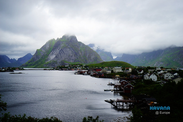
That morning, it was raining heavily in Lofoten, but according to the weather forecast, the rain would ease up in the afternoon. We planned to wait until the rain stopped before climbing the Reinebringen Hiking Trail. Sure enough, by the afternoon, the rain gradually lessened and eventually stopped completely, and even a hint of sunshine peeked through the clouds. Seeing the weather improve, we immediately drove back to Reine Town to embark on the long-awaited Reinebringen Hiking Trail adventure.

The trailhead for the Reinebringen Hiking Trail is located near Reine Town, right beside the tunnel on the E10 highway. Most people planning to hike this trail park their cars along the E10 highway, at the Reine Town viewpoint (which also serves as a parking lot). Be warned: it often gets very crowded here, so it’s best to arrive early.
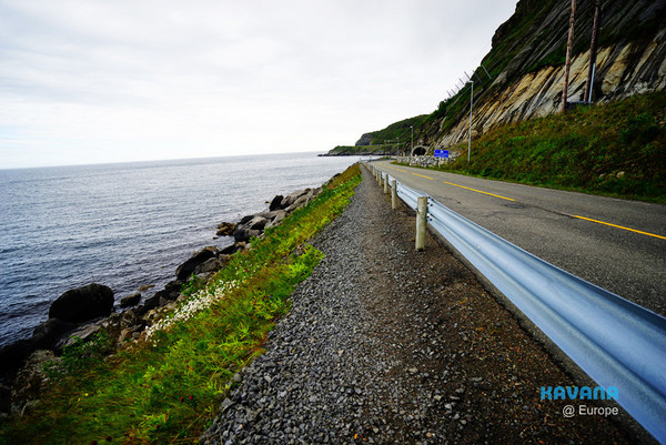
After parking, we walked along the highway toward the tunnel.
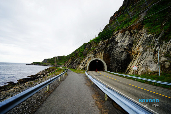
Passing the entrance of the tunnel, we turned onto a small path beside it.
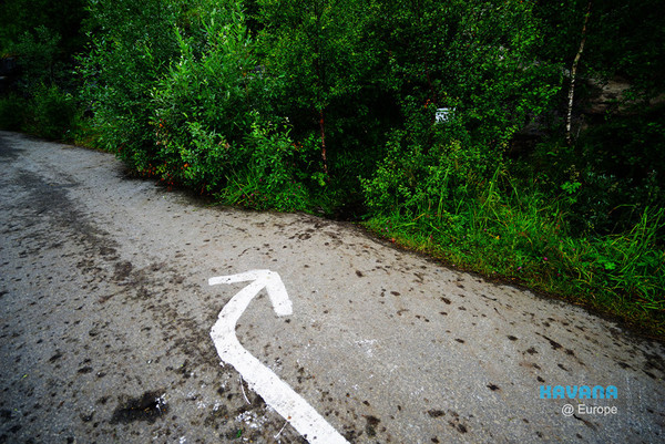
Ten minutes after starting from the parking lot, we spotted arrows on the ground marking the entrance to the Reinebringen Hiking Trail.
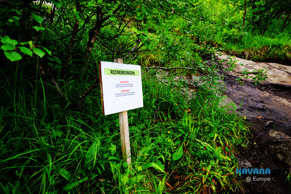
At the trailhead stood a warning sign cautioning hikers that the trail is extremely dangerous. It urged everyone to assess their own capabilities and take full responsibility for any risks.

As we began ascending the trail, we encountered a smooth rock face, which reminded me of a blog post I’d read before leaving. The blogger had mistakenly thought they needed to climb straight up the rock face since they hadn’t noticed the narrow path nearby. Eventually, they gave up due to exhaustion...
To be honest, I really admired that blogger, because that rock face is truly not something an average person can climb... And yet she managed to climb part of it for a while. (You can find her blog post here:Day 10 Lofoten (Reinebringen Hiking Adventure – Part 2 + Dinner))
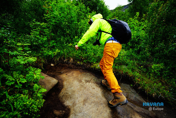
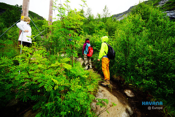
The “path” next to the rock face was slightly better than the rock itself, but it was still incredibly challenging to climb. Coupled with the heavy rain earlier in the morning, the rocks were wet and slippery, and the muddy ground made it very difficult to walk.
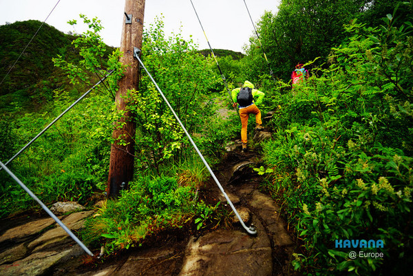
Unfortunately, my junior and the cooking-savvy junior sister hiked ahead at breakneck speed.

At the start of the trail, the upper part of the rock face loomed above us. We had to traverse slippery and steep surfaces, which was very dangerous. I strongly—no, I absolutely—recommend wearing hiking boots for the Reinebringen Hiking Trail. Attempting it without them is basically suicidal.

Soon after, unfortunately, my junior and the cooking-savvy junior sister slowly disappeared from view...
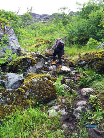
As for me, I hung back at the end of the group to wait for the “clumsy faller,” so he wouldn’t tumble down the slope and accidentally knock someone else off the mountain—just in case.

Along the way, we met several other hikers. According to my junior and the junior sister, who had started earlier, many gave up before reaching the summit, and only about half of the hikers successfully made it to the top of the Reinebringen Hiking Trail.
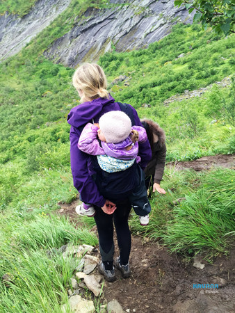
This mom hiking while carrying her baby was absolutely incredible.
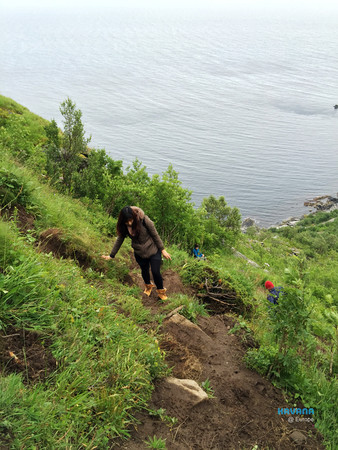
After hiking for forty minutes, we had reached a considerable height—the gray road by the sea was the asphalt road near the trailhead.
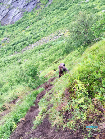
The steeper the Reinebringen Hiking Trail got, the more vertical it became—near the top, the slope was nearly 70 degrees. Climbers had to use both hands and feet to find enough grip to keep moving upward.
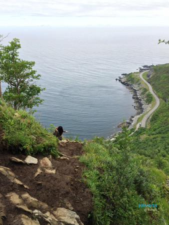
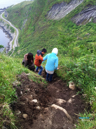
Climbing higher and higher~
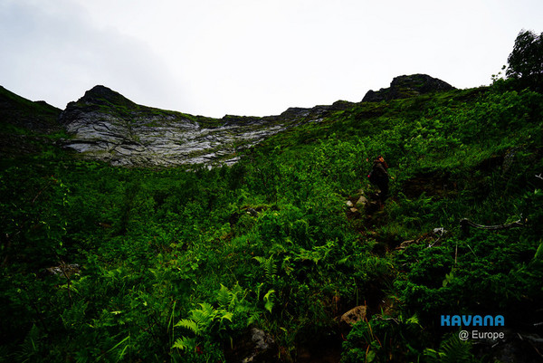
Felt like we had been climbing for ages, yet the summit still seemed incredibly far away—with quite a stretch left to the top. By this point, I didn’t even have the energy to take photos anymore, so I put my phone away and focused on climbing step by step.

Finally!!!! After a little over two hours from the trailhead, we reached the top of the Reinebringen hiking trail!!
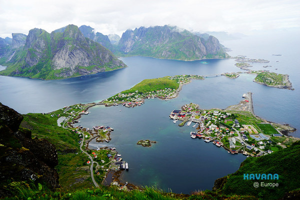
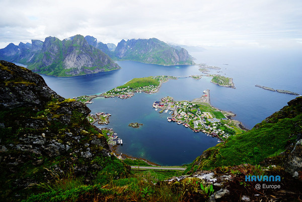
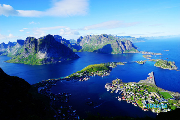
The view from the top of the Reinebringen hiking trail—on the right side of the frame, the protruding peninsula is the town of Reine, the most famous scenic spot in Lofoten Islands.
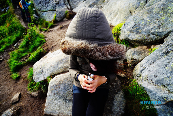
The "falling demon" collapsed onto the rocks as soon as she got to the top. That clumsy girl actually made it up here!? Honestly, that’s really something.
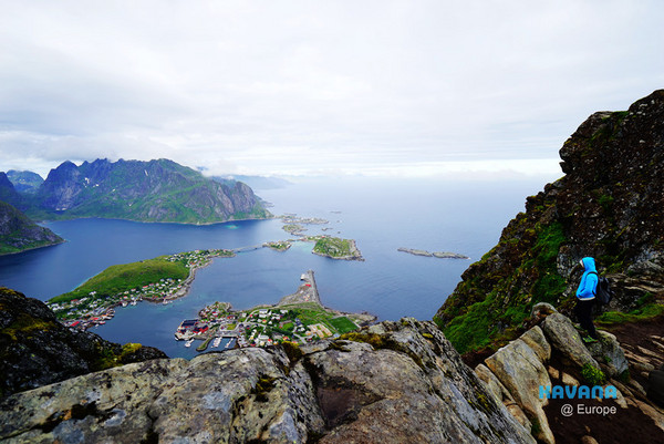
Next up is personal portrait salon time, haha~

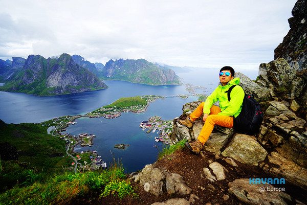
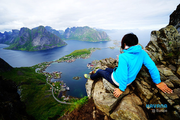
Took turns sitting on the edge of the cliff, enjoying the thrill of walking on clouds.

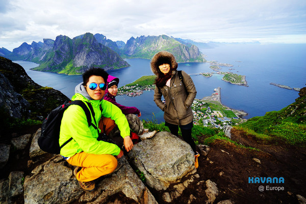
Group photo of the Lord of the Rings expedition team.
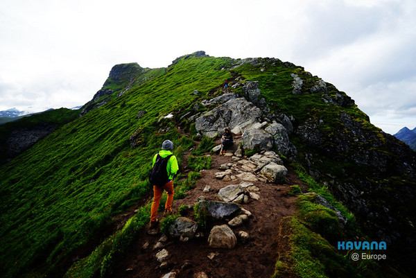
Actually, this isn’t the end of the Reinebringen hiking trail yet—there’s a path leading left and right, both taking you to an even higher ridge.
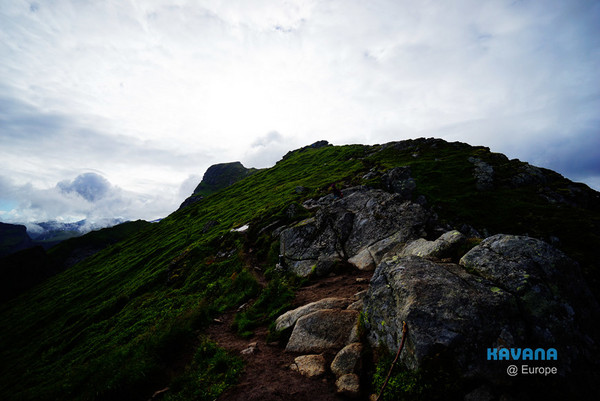
But that steep ridge looked treacherous, and our legs were too worn out to climb any further.
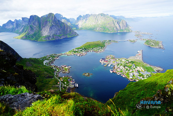

After staying up there for twenty minutes, the weather got even better too!! The strong wind blew away the lingering clouds... and we were treated to a breathtaking view of the blue sky. At that moment, I thought to myself, "The weather really is the best background for photos."


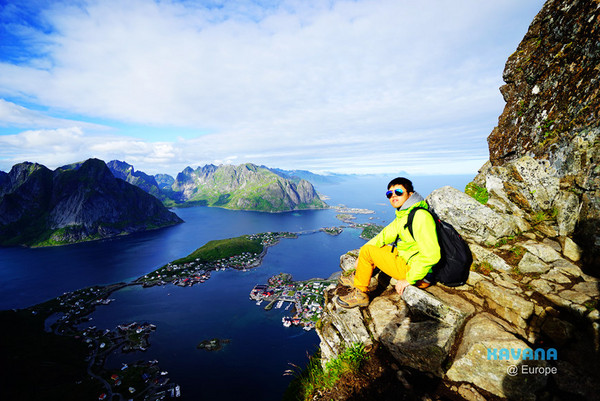
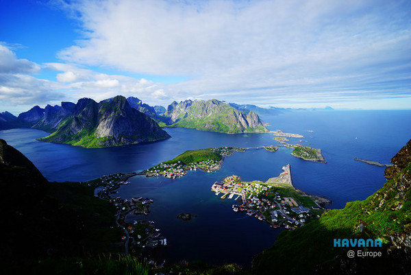
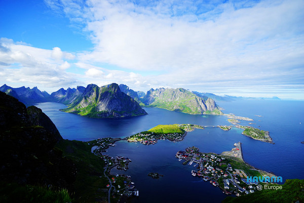
As the weather improved, the sea below looked even more vividly blue.

Like a scene from computer CG—unrealistically beautiful.
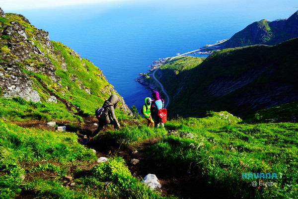
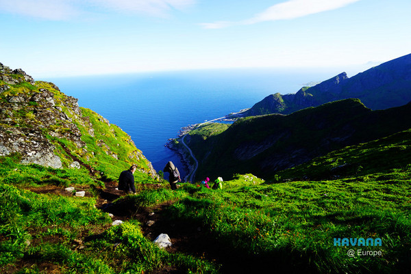
After spending over half an hour at the top, everyone had rested enough and decided to slowly make their way back down.
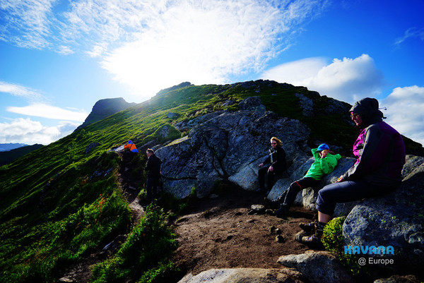
And me, having recovered some strength after resting, decided to keep climbing toward the ridge on the left, hoping to take advantage of the perfect weather and climb higher to enjoy the view of the Lofoten Islands.
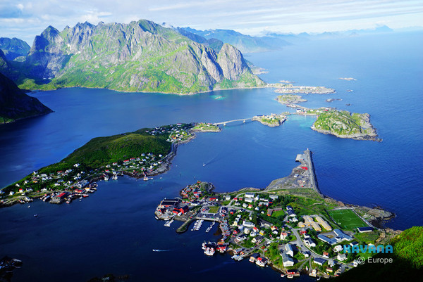
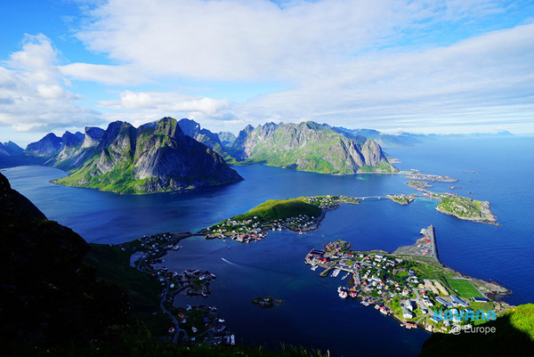

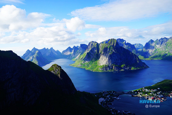
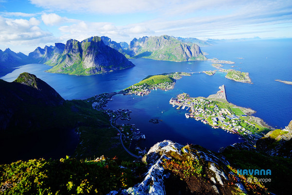
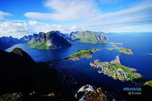
As the altitude increased, the view became wider and wider, and the increasingly great weather made the scenery even more astonishing~
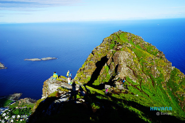
The area slightly lower on the ridge in the center of the frame, where many people were standing, is the very spot where we took our group portraits earlier.
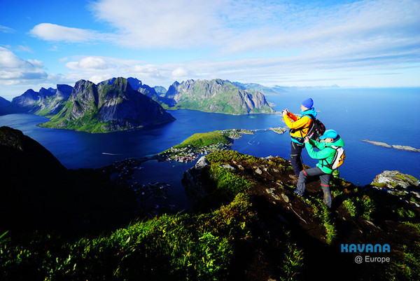
Anonymous travelers became important elements in my composition.
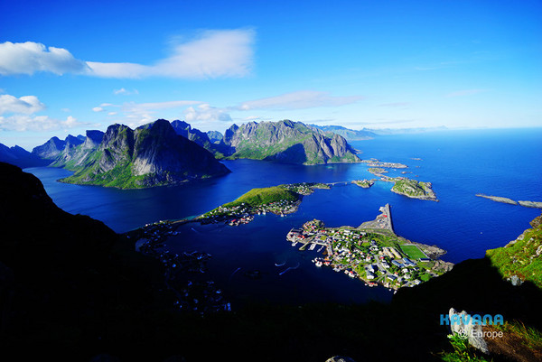
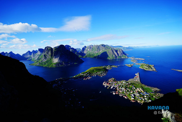
The stunning view from the highest point of the ridge. The scenery along the Reinebringen hiking trail is truly breathtaking—when you visit the Lofoten Islands, don’t miss this place!
Kavana @ Kyoto - Free Stay.
Kavana X Japan Travel Madness
Share
This article is published by HowToTrip. Sharing and reposting are welcome — please credit the source.
Article URL: https://www.howtotrip.net/views-7837
Related Articles
- Shaoxing's "Grandpa Gourd" hangs the gourds back up: "If there are too many people, we'll interact less — just take a quick look from afar"
- Chinese authorities announce "reciprocal adjustment" to Japan visa fees — single-entry visa jumps from 2,250 to 16,750 yen!
- The "health stones" carried by a traveler were found to have radiation levels exceeding safety limits by a thousand times, potentially endangering fellow passengers on the same flight. Customs issues warning!
- Shenzhen Airport Issues Late-Night Notice: Unidentified Aerial Object Detected, Causing Widespread Flight Delays!
- “They only said it cost money after I opened the box and washed it!” 200g of grapes sold for 60 yuan on a high-speed train—12306 responds!
- Can't buy an airline ticket? Denied exit? Blocked from boarding? A large number of Chinese tourists have mysteriously become "discredited individuals"
- Adverse weather and economic fluctuations impact Colombia's coffee market
- Beach bathing area responds to 2 yuan/30 seconds fee for freshwater foot rinsing: Clearly priced!
- Taking off with an improperly closed cabin door? Wing malfunction? Multiple flights made emergency returns mid-journey!
- Experience the gifts of nature! A countdown of the world’s ten most stunning coastlines